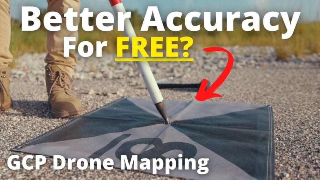
Want to improve the accuracy of your drone-captured images? Check out our video on using ground control points (GCPs) in …
Subscribe to Updates
Get the latest creative news from FooBar about art, design and business.
How To Create Accurate Maps With GCP's – Drone Mapping Tutorial
Related Posts
Add A Comment
