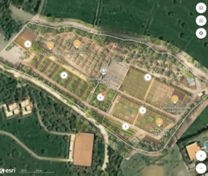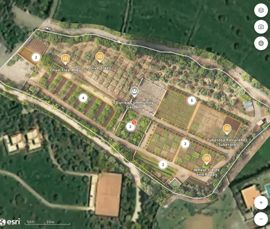
Image of the Yves Saint Laurent (YSL) Carbon Offset Project in Morocco. explorer land.
GLOBHE is the impact tech company behind the cloud drone concept, the world’s largest album of drone-collected images. With a network of local drone operators in over 140 countries, GLOBHE enables stakeholders to monitor and understand locations and projects around the world from anywhere.
For nature-based carbon offset projects, their oversight is of great value. Companies can not only verify that their programs have been implemented and demonstrate them to stakeholders, but also use his drone-based lidar to more accurately calculate the real-world impact of the project. .
Yambot Aguilera is GLOBHE’s sales development and client delivery lead, responsible for forestry and environmental projects. He is passionate about the positive environmental impact of carbon offset projects and the benefits of high resolution monitoring.
“Nature-based solution projects are very valuable,” explains Aguilera. “They are all over the world, but large projects are often located in Africa or Latin America, where land management and execution are cheaper, and carbon sequestration has a lower price per ton. ”
Tracking development can be difficult as many of the projects are on a different continent than the sponsor. GLOBHE’s network of local operators allows companies to verify projects and ensure designs are executed as planned and funded. Engaging, high-quality data helps companies understand their projects in context and detail. Stakeholders can see new plantings in contrast to the surrounding area, identify planted trees, and watch projects grow.
“We can monitor it with satellite imagery, but it can take years for a forest to grow sufficiently to be captured by satellite,” Aguilera points out. “By overlaying satellite images with orthomosaics, you can really see the project come to life.”
A 360° panorama has an accuracy of 2.5 cm and can show how a particular tree grows,” says Aguilera. “By looking at the surrounding area, companies can see where the plantation money is going and what is not here. They can compare to what is next door.”
Calculation of carbon sequestration
It is difficult to calculate the impact of carbon offset projects, let alone monitor their development. Accreditation reports may be biased and inaccurate. LIDAR data can provide tools to more accurately calculate the amount of carbon sequestered without using satellite data and making the necessary assumptions. Again, drone data will allow companies to see results much earlier, before the trees are visible on satellite imagery, Aguilera said. “New forests sequester carbon. Maybe not as much as older forests, but they do.”
Not only is the GLOBHE system effective, but the network approach allows clients to easily access remote projects. “The process is really smooth,” says Aguilera. “Many clients have projects all over the world, such as Brazil, Africa, Mexico, Europe, etc. By working with us, they can cover all these countries with his one point of contact. ”
Aguilera said he is proud of the work GLOBHE is doing in the carbon offset market. “When you get so caught up in looking at your computer, you can forget your influence in the real world,” says Aguilera. “But from my computer, I can protect areas thousands of kilometers away.”
“We are at a pivotal point in human history due to climate change and geopolitical turmoil,” says Aguilera. “We are at a turning point – and we can do our part to help. Proud to work for such an influential private startup.”
You can explore the YSL project shown in the image above here In Explorer.Land.
read more:
Miriam McNabb is editor-in-chief of DRONELIFE, CEO of professional drone services marketplace JobForDrones, and a fascinated observer of the emerging drone industry and drone regulatory environment. With her 3,000+ articles focused on the commercial drone space, Miriam is an international speaker and recognized figure in the industry. Miriam has a degree from the University of Chicago and high tech she has over 20 years of experience in sales and marketing new technologies.
For drone industry consulting or writing, please email Miriam.
twitter:@spaldingbarker
Subscribe to Drone Life here.
