Written by Nieves Mani
Updated August 30, 2021
Let’s break this down – what is the typical workflow when using P4RTK to perform drone survey and mapping missions?
-
Site visit
-
plan
-
execution
-
process
Site visit
A mission always starts with a site visit. The main objective at this stage is to find the ideal drone take-off and landing locations. We also pay attention to what might pose a threat to drone flight. This can be power lines, skyscrapers, construction equipment, and general obstacles.But in this situation Phantom 4 RTK Environment and obstacles are more forgiving. The P4 RTK’s compact frame allows takeoff and landing areas to be smaller and narrower, allowing the drone to operate safely and reliably in more complex areas.

mission plan
P4 RTK makes mission planning and flight path plotting very easy. KML files can be imported directly into the controller to automatically plot flight paths. Once generated, I had to edit the settings to meet my exact needs. In our case, we were mapping an open desert. Homogeneous surfaces can be difficult for photogrammetry, so overlap and sidelap were increased to ensure data accuracy. Alternatively, you can plot the flight path entirely with the P4 RTK’s controller. The advantage is that no additional software is required to plot flight paths. Just grab the KML file you need from Google Earth or plan it in your controller.
.jpg)
execution
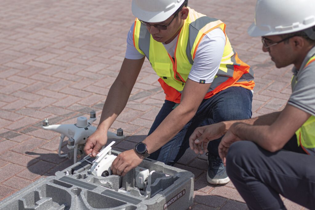
There’s not much to say about this phase, but that’s a good thing. Set up the D-RTK 2 mobile station and link it to the Phantom 4 RTK. Then place the drone at the designated takeoff point and let the P4 RTK do the work. The drone autonomously takes off and begins its mission. Once the data acquisition is complete, the drone will automatically land at the designated location. The biggest time sink in aerial survey and mapping is the time required to set up GCPs (Ground Control Points). With his P4 RTK on the D-RTK mobile station, he can skip GCPs while maintaining high accuracy levels. For example, it can be difficult to find enough space to take off and land a drone at complex work sites or urban sites. However, it is not suitable for P4RTK. It is the perfect drone for small projects, especially in cities and complex locations.

process
Once the aerial survey is complete, it’s as easy as removing the SD card and importing the data into your PC. DJI Terra Software for processing. Terra’s rapid calculations enable detailed 2D orthomosaics for comprehensive and accurate measurements in any environment. The images were captured from an altitude of 50m using only the D-RTK mobile station without the use of GCPs. The P4 RTK delivered a GSD of 2cm and horizontal and vertical accuracy of 4cm and 5cm. DJI Terra’s processing speed is incredible. The software can process about 400 images from P4RTK using just 1 GB of RAM. In addition, DJI Terra is offline software, eliminating the need to upload data to the cloud, saving even more time.
DJI’s Phantom 4 RTK is useful for urban surveyors and small to medium sized fields. The drone’s small frame and simple workflow make it very easy to integrate drone survey and mapping into your workflow. Get the Phantom 4 RTK and save time and money. Even better, get a D-RTK mobile station to produce great results without using GCP.
Get a Free Consultation from Feds
