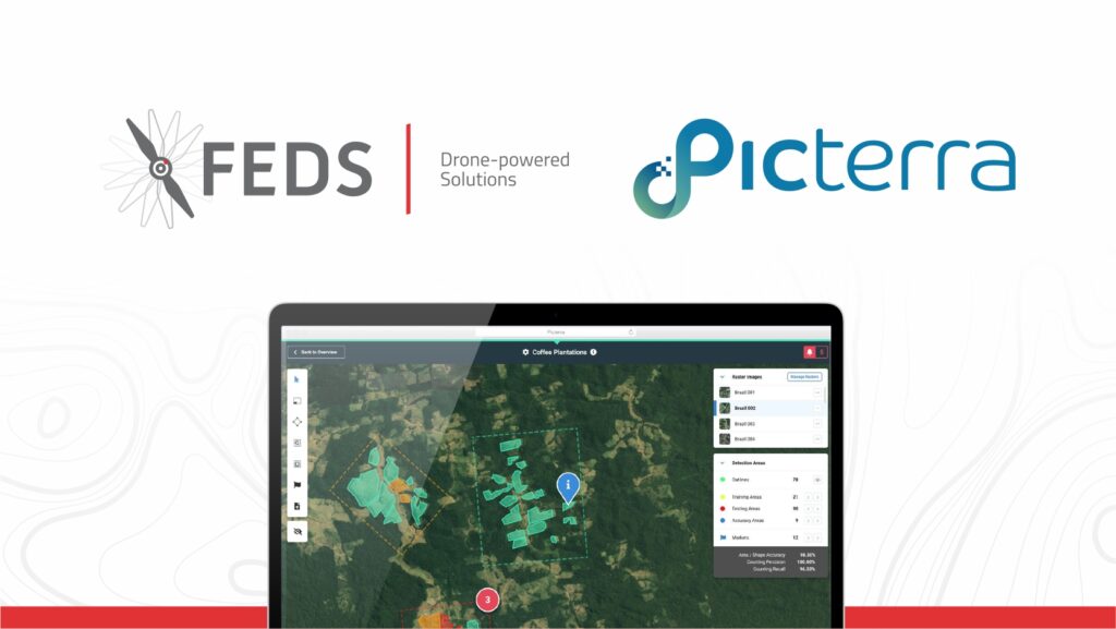
Picterra makes it easy to train and deploy machine learning models to identify trends, find objects, and monitor large-scale changes in satellite and drone imagery. It’s an easy-to-use collaborative platform that allows users to train, deploy, and manage powerful machine learning models without her writing a single line of code.
FEDS CEO Rabih Bou Rached said: “This partnership enhances our ability to deliver deep geospatial insights from drone surveys, enabling our clients to make informed decisions about their businesses.”
Picterra CEO and co-founder Pierrick Poulenas said: The Middle East is an important region for Picterra and we look forward to an even greater presence through this partnership. “
About FEDs
FEDS revolutionized the commercial space in the Middle East with the introduction of Drones-as-a-Service in 2014. Today, FEDS is not only the number one drone service provider in the Middle East, but also ranks among the top three in the world. FEDS uses the DT3 (Drone Tech, Data Tech & Digital Transformation) approach to provide faster, more accurate, safer and comprehensive drone solutions for all industries. Use drones to perform much more efficient and cost-effective aerial mapping, surveying, inspection, and construction monitoring.
FEDS, in partnership with Aerodyne, now operates on a global level, serving more than 35 countries.
About Picterra
Picterra is the first geospatial intelligence platform that enables businesses to autonomously extract insights from satellite and aerial imagery. A user can quickly and securely build and deploy deep learning models without her writing a single line of code.
This press release was originally published on Pictera
Get a Free Consultation from Feds
